Beaches are dynamic entities, constantly undergoing erosion and change, which can have significant impacts on recreational, economic, and social activities. The SIPOBED project, led by Prof. Sebastiano D’Amico and his team at the Department of Geosciences, aims to tackle the challenges posed by beach erosion. By harnessing the power of satellite observations and artificial intelligence algorithms, the project provides extensive and accurate measurements of the depth of the seafloor in pocket beaches around Malta. This valuable information helps stakeholders make informed decisions regarding coastal management, infrastructure development, and risk mitigation. Through a combination of innovative technologies and local research, the SIPOBED project offers practical solutions tailored to the unique needs of Malta’s beaches, ensuring the preservation of these valuable natural resources for future generations.
Continue readingDigging up stories untold
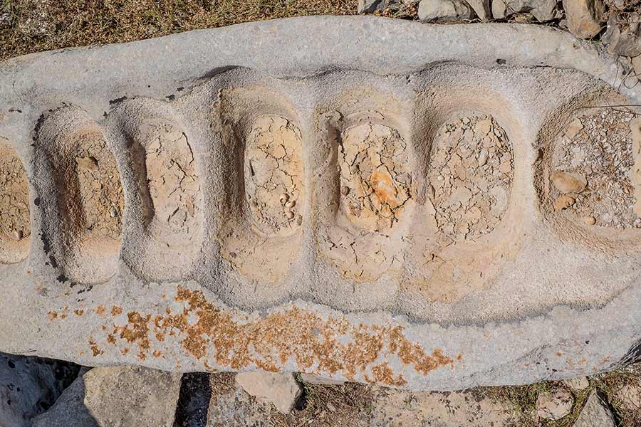
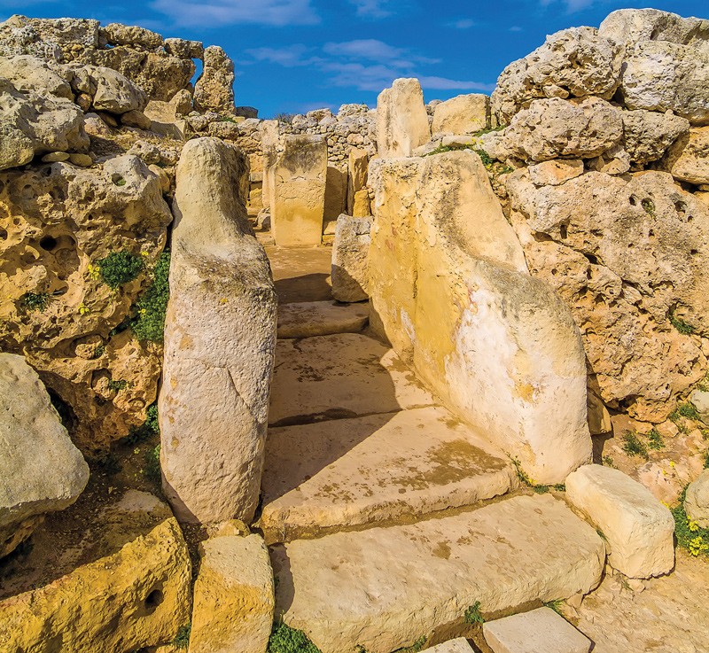
Malta’s megaliths have attracted droves of archaeology and history enthusiasts over the years, all clamouring for the rich narrative our little rock has to offer. Shelby Marter talks to Prof. Nicholas Vella and his team as they dig up the past in Kordin and attempt to piece together long lost stories. Photography by Faisal Sadegh and Dr Edward Duca.
The Death of the Temple People
Welcome to Malta’s largest archaeological attraction: the Temple Period. We have Maltese and British archaeologists to thank for this heritage that has been dug up since the early 20th century. Yet there are still unanswered questions why these people survived for so long then suddenly vanished. The FRAGSUS project—the largest international archaeological collaboration in Malta and Gozo—is trying to answer why.
Robot Maps, Robot Moves, Robot Avoids
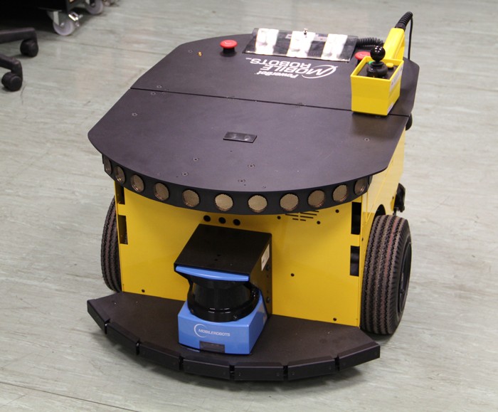
Robotics is a cornerstone for this century’s innovations. From robot nurses to your own personal assistant, most robots need to know: ‘where is it?’ ‘Where should it go?’ And ‘how to get there?’ Without answers to these questions a robot cannot do much.Continue reading
Future-Safe Malta
Words by Prof. Saviour Formosa
“Extreme weather leaves Mediterranean countries picking up the pieces. Egypt and Lebanon were the hardest hit with over 1.2 million people displaced overnight. Malta didn’t fare much better. The authorities have reported over 2,300 dead or missing, thousand injured and 74,000 persons displaced. Power cuts have been reported all over the island after Turbine Two tripped at the Delimara Power Station. Enemalta have not replied. The islands have taken a major blow to their infrastructure. Debris has been reported 1 km away from the coasts. The AFM and emergency responses were immediately dispatched and are starting to clear arterial roads. Insurance companies are still counting the costs. Valletta, Floriana and parts of Isla were protected from the storm surge by centuries-old Knight’s fortifications. The following localities have been affected: Birgu, Bormia, Kalkara, Marsa, Gzira, Msida, Pietà, San Giljan, Sliema, Ta’Xbiex, Xghajra, Birzebbuga, Marsascala, Marsaxlokk, Xlendi and Marsalforn. “
The above cutout could become reality if a Category 3 storm lashes Malta with 178 to 208 km per hour winds. The chances are minimal but too probable to ignore, since in 1995 a similar storm formed close to the Maltese Islands followed by others in 1996, 2006, and 2011. Below are two scenarios that compare Malta as it currently stands against an island with a solid disaster management plan.
[ SCENARIO 1 – AN UNPREPARED ISLAND]
The emergency forces have been inundated with calls for help and have few plans to operate a workable rescue effort. Key personnel were lost at home or while rushing to the scene, since the infrastructure has been knocked out, paralysing the island. Power surges or power cuts have caused fires all over the Islands creating an apocalyptic scenario. With the storm still raging, the lack of a back-end ICT network has rendered communication near impossible.
[ SCENARIO 2 – THE IDEAL SCENARIO]


