
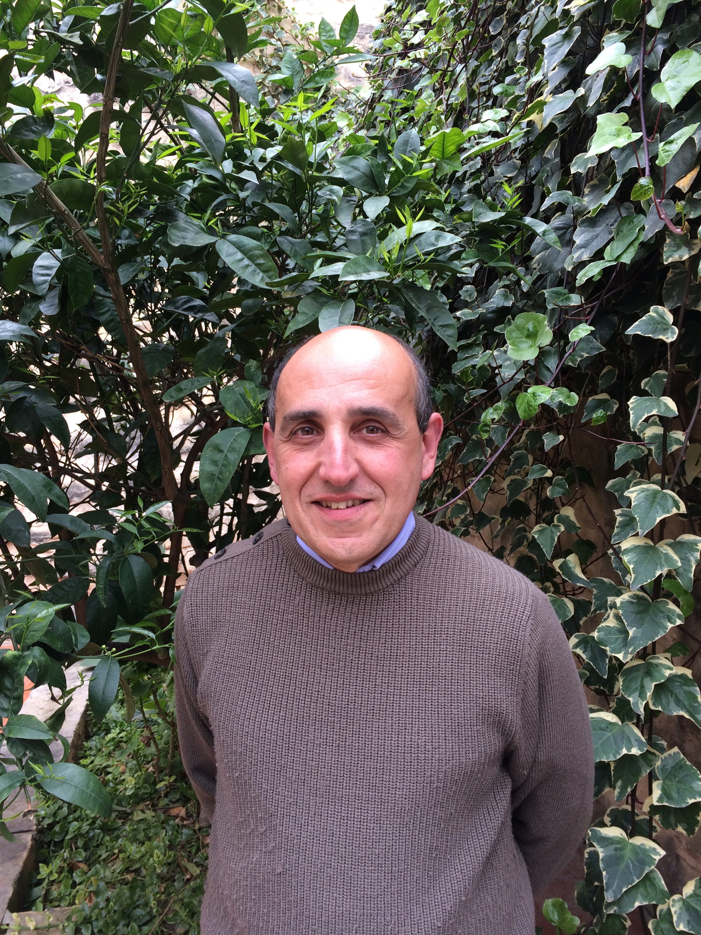
It was just over a year ago that two University of Malta (UM) departments and an institute started working on LARSOCS, a collaboration which would see off-the-shelf drones revolutionise the way archaeological sites are being documented. In THINK, Dr Ing. John Charles Betts speaks to Iggy Fenech and explains what the project has achieved and where it is headed.
Although archaeology is a field whose aim is to uncover our past (often quite literally), it is also one that looks firmly to the future to equip its practitioners with the instruments they need to do their job. Medical technologies and methods are used, as are those from engineering and criminology. True to this idea, the Department of Classics & Archaeology (DoCA, Faculty of Arts, UM) has spearheaded a project that will add an impressive new tool to practitioners’ arsenals.
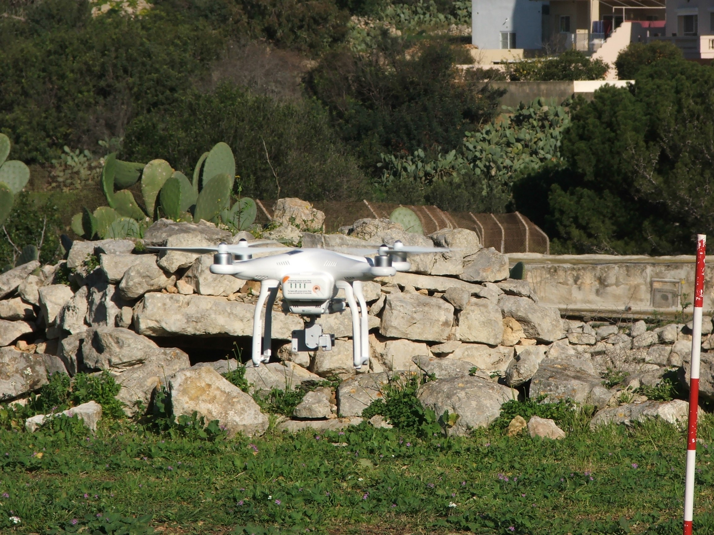
The LARSOCS project (Low Altitude Remote Sensing Over Compact Sites) seeks to arm the DoCA with a series of programmable Unmanned Aerial Vehicles (UAVs, better known as drones), that could help document excavation sites, while also providing data that can be translated into site maps and three-dimensional (3D) models.
Funded by the Research, Innovation and Development Trust (RIDT), LARSOCS is truly the sum of its parts, and has brought together an eclectic interdisciplinary team of researchers. Dr Ing. Marc Anthony Azzopardi and Dr Ing. Brian Żammit (Department of Electronic Systems Engineering, Faculty of Engineering, UM) worked on the hardware design of an innovative control system with engineering graduate Karl Galea. Dr Charles Galdies (Institute of Earth Sciences, UM) took on image processing, correcting the collected images to allow measurements to be taken from them, while Dr Gianmarco Alberti from Italy worked on image processing and analysis for 3D modelling. Finally, Dr Maxine Anastasi (DoCA) worked with Dr Ing. John Charles Betts, project coordinator and lecturer (DoCA), on the work’s applications. Flights were piloted by Żammit and Betts.
The team was later joined by Masters student Mannaïg L’Haridon (French National School of Geomatics, Paris). She turned out to be a windfall for the project, taking part in planning and carrying out the drone flights herself. She produced rectified images and photomosaics, large-scale detailed images built up by combining photographs of small areas. She also introduced the team to the open-source MicMac 3D software for image correction and three-dimensional model generation, a programme that was not only useful but also reduced costs considerably.
‘By remote sensing, the drones—named Harpy, Hera, and Hercules—capture data from a distance, and present it in various forms: from realistic images, to false colour showing variations in height, or point clouds used as the basis of virtual 3D models,’ explains Betts. The crux of the innovation lies in the design of a Local Positioning System (LPS) that would allow these off-the-shelf, low-cost drones to be flown at much lower heights than normal, both above ground and in confined spaces.
At the end of the first phase the LARSOCS team had managed to operate their drones manually and with pre-programmed flight instructions. The LPS design is now complete, which means that in the second phase of the project the team will construct drones that are capable of fully-automated flight at very low altitudes.
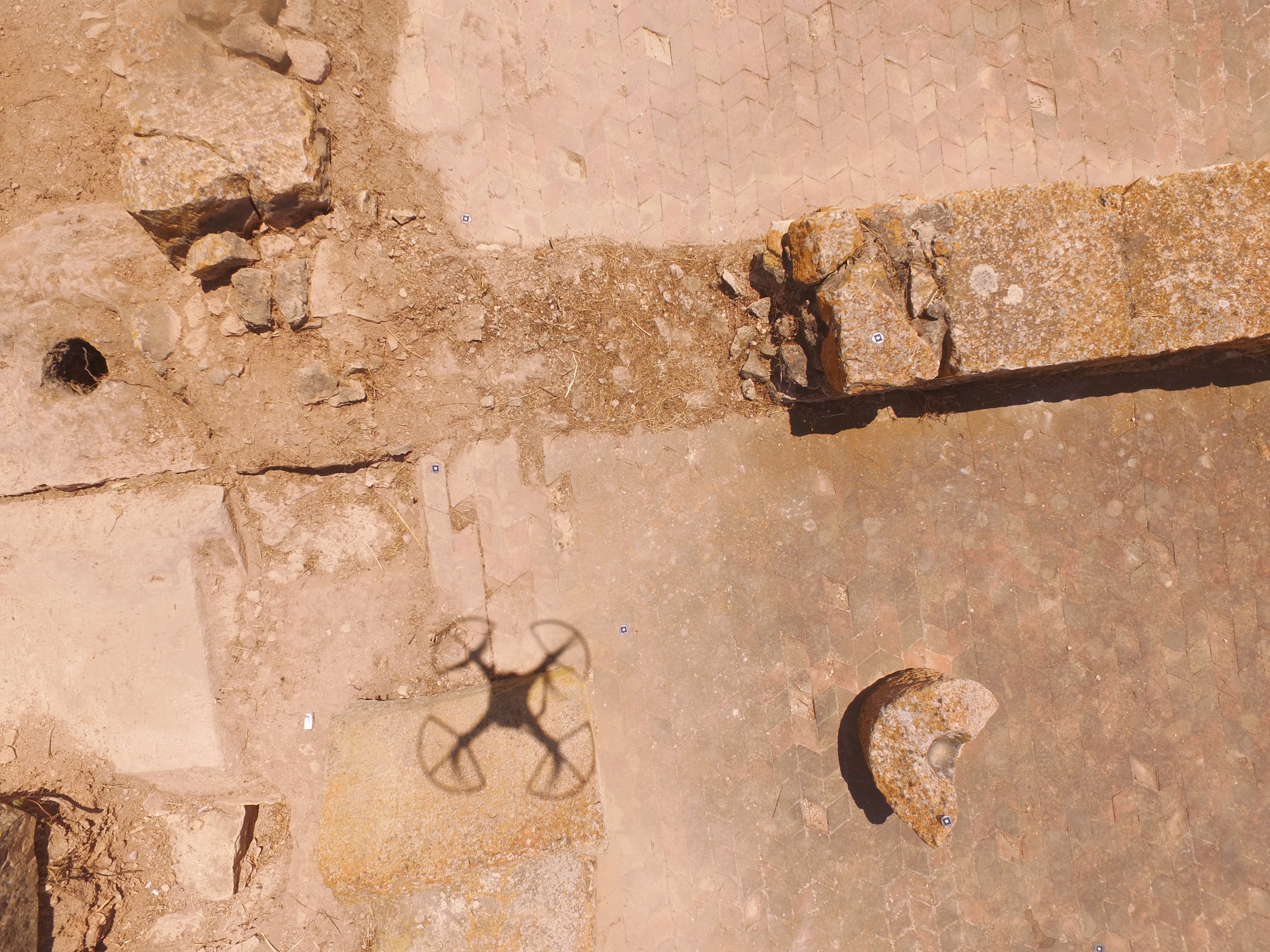
‘The funding has given the department some incredible new tools, which have allowed us to create 3D models, and digital elevation models of a quarry site in the Clapham Junction area near Siġġiewi, and a 330MB-photomosaic of the Żejtun Punic/Roman fieldwork site,’ Betts continues.
‘This changes everything. Until now, we have mostly relied on drawings, written text, and traditional photography when documenting excavations that are reburied after discovery. Now, through the use of these drones and specific software, we can have a very comprehensive graphic record of what has been unearthed. This can be used in tandem with the written data record and drawings for further research, or even to create 3D virtual models to be displayed within museums.’
LARSOCS, although officially closed as a project, is still very much alive, and plans are being made to launch Phase Two, which will continue building on what has been achieved so far. Betts and the team are already on the hunt for future applications of the technology, including virtual reality tours, as well as design and manufacture of 3D-printed solid models intended for visually impaired people.
‘Although this was a small-scale project, it’s a force multiplier and a game changer,’ says Betts. ‘And not just for those involved in Archaeology and its related disciplines. Collaboration is definitely on the cards. In the future it could be used by others within the UM, across areas as diverse as geoscience and agriculture, IT, and engineering and environmental studies that reap the benefits of this work by applying it to new concepts.’


Comments are closed for this article!