To map pristine areas in the Mediterranean, CAMPE is going where no glider has gone before. Prof. Aldo Drago writes.
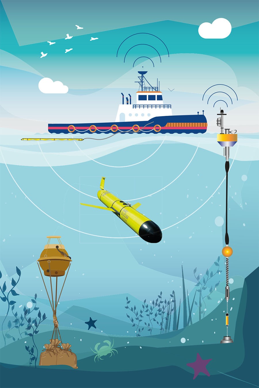
CAMPE spends most of its life in the sea. CAMPE is the name of a sea glider deployed on April 23rd. For the next two months, the immense volume of water south of the Maltese Islands will be its home. With the ability to dive repeatedly down to depths of 1000m, this torpedo-like vehicle carries a payload of sensors to sound the sea uninterrupted as it steers its way autonomously through the water, sending signals and data to a land station by satellite communication every time it surfaces. The result? A massive collection of data in quasi-real time that sheds light on the vast expanse of water yet unexplored just south of Malta’s home shores.

CAMPE forms part of the French SLOCUM glider fleet at the Centre National de la Recherche Scientifique (CNRS) in La Seyne-sur-Mer. Through a JERICO-NEXT Trans-National Access activity called GLIDER South, the University of Malta’s Physical Oceanography Research Group are conducting this data acquisition expedition in the sea between Malta and the Gulf of Sirte. At the moment this stretch of sea is practically unexplored, and the project aims to rupture the great lack of knowledge about this immense volume of water which divides the Mediterranean Sea in two halves.
The Armed Forces of Malta supported the deployment of the sea glider. The glider slid down into the sea from a rigid-hulled inflatable boat launched from the patrol boat. With a payload of multidisciplinary sensors, it performs vertical profiles of physical and biogeochemical parameters during each dive, gathering data on pressure, conductivity, temperature, fluorescence, dissolved oxygen, nitrates, and optical backscattering. Integrating these profiles along
the path followed by the glider creates 2D vertical maps outlining the changing conditions from the water’s surface to the seabed, and exhibiting the spatial variability with depth and distance.
| Meet the Team |
|
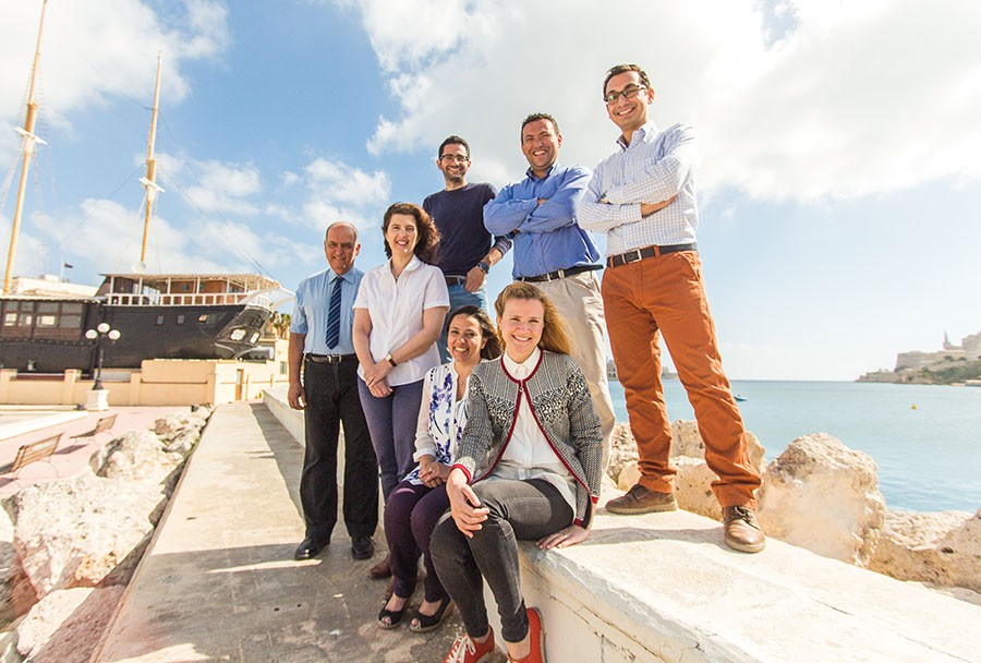
Prof. Aldo Drago coordinates the Physical Oceanography Research Group (Department of Geosciences, Faculty of Science, University of Malta). Dr Adam Gauci and Dr Anthony Galea handle field expeditions and technical execution of the research. Prof. Alan Deidun provides expertise in marine biology and environmental management. Audrey Zammit, Raisa Galea DeGiovanni, and Tiziana Micallef support the research team. The Armed Forces of Malta support the team through provision of boats and crew for equipment deployment.
|
| Did you know? |
|
The bottom of the sea joining Sicily to Malta is relatively shallow (100m on average) and forms a step-like platform, known as the continental shelf, beyond which the sea bed drops down consistently to much greater depths. The Maltese Islands lie at the edge of this shelf, looking like the top of a mountain emerging out of the sea. This explains why the sea is so deep less than a mile away from the sturdy Dingli Cliffs on the south-western shores of Malta. Astounding underwater topographies make the Maltese Islands so unique not only on land, but also under the sea!
|


Comments are closed for this article!