Under the sea is a whole new world with its own geology. Dr Aaron Micallef writes about the MARCAN project, shedding light on the freshwater reserves sitting beneath the sea’s saltwater and how they can be used to alleviate the groundwater problem plaguing The Maltese Islands.
Listen to this article as a podcast
We have a water problem. By 2020 shrinking freshwater resources and growing demand will lead to 40% of the global population experiencing problems of water scarcity. When it comes to water resources per inhabitant, Malta is one of the ten poorest countries in the world. Water shortages in other countries have led to food shortages, economic slowdowns, and even increased global conflict. Addressing local and global freshwater shortages is a matter of urgent concern.
Solutions? There are a few. Many call for water recycling and better controls over its use. But the world is not always as straightforward as we would like it to be, and these ideas are not always feasible. Groundwater resources may be compromised by contamination, sea level rise, or conflicts with neighbouring states, as in the case of Pakistan and the Maldives. So, we need to think out of the box.
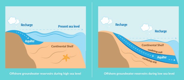
One solution may be found at the bottom of the ocean. In the past few decades a number of serendipitous discoveries of freshwater, down to hundreds of metres depth below the seafloor, have been made during oil exploration campaigns. Freshwater reservoirs can form underwater in two ways: either the sediment/rock layer that hosts the groundwater extends from the coastline to the seafloor, or the groundwater is ‘fossilised’, a remnant of when sea levels were significantly lower than today and part of the seafloor was exposed. Recent estimates put the volume of freshwater hosted in sediment and rock off shore at half a million cubic kilometres of freshwater: equivalent to four times the volume of water used by humans in the past 200 years.
Offshore groundwater has recently raised the interest of geoscientists at the Marine Geology & Seafloor Surveying (MGSS) group of the Department of Geosciences (Faculty of Science, University of Malta), and not just for its potential use as a source of freshwater in the future. During the last 100 years, groundwater has been proposed as an important player in shaping onshore and off shore landscapes; however a definitive link remains to be made. For the majority of the last 2.5 million years, the sea level was up to 130 metres below present levels, creating suitable conditions for the development of extensive groundwater systems across large areas of the global seafloor. It is thought that these systems may have controlled dangerous processes such as submarine landsliding, transporting sediment across continental shelves and into the deep ocean, effectively creating underwater avalanches that destroy seafloor infrastructure. They also play a role in generating tsunamis and contribute to canyon formation. Should this theory be correct, our understanding of groundwater systems needs swift revision; however, data around the subject is sparse, and this is why the MGSS geoscientists developed the MARCAN project.
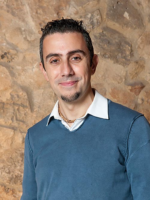
Funded by a European Research Council Starting grant, MARCAN is a five-year project that will define the characteristics and dynamics of off shore groundwater in unprecedented detail, and determine whether it plays an important role in marine geology. Led by myself, Aaron Micallef, the MGSS team brings together geologists, geomorphologists, geophysicists, geochemists, hydrogeologists, and engineers from the University of Malta, GEOMAR in Germany, NIWA in New Zealand, and the New Mexico Institute of Mining and Technology in the USA.
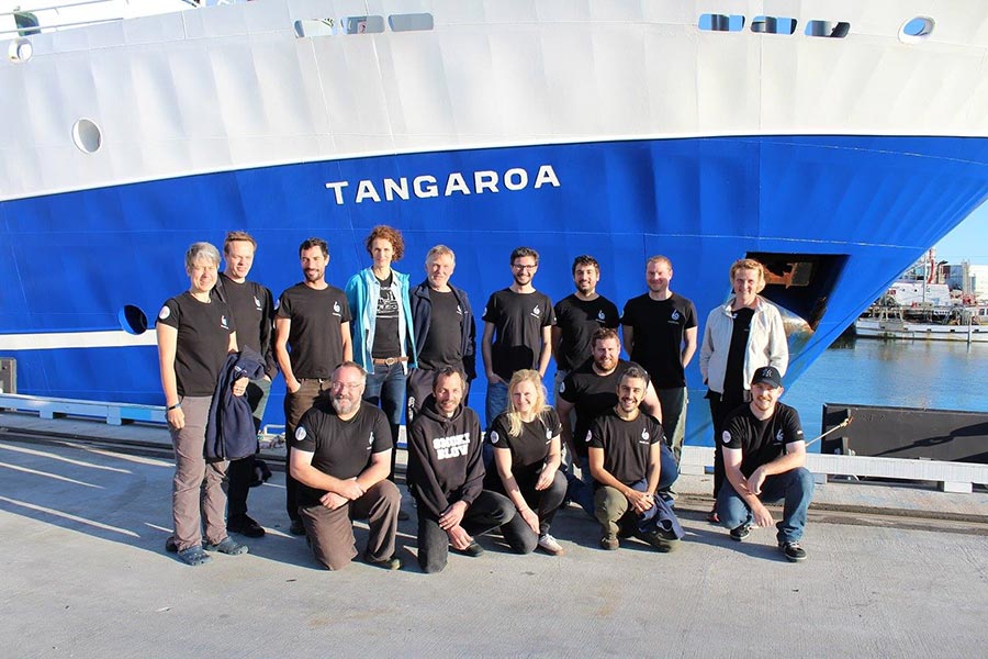
The first phase of the MARCAN project involved an expedition to the South Island of New Zealand, one of the project’s two study areas. In April 2017 the project team sailed from Wellington on board the research vessel Tangaroa and spent four weeks surveying the seafloor off shore Timaru, which hosts one of the shallowest off shore groundwater systems in the world. The scientists used advanced technologies such as marine controlled-source electromagnetism to map sub-seafloor salinity, as well as a suite of geophysical and chemical data to generate a 3D groundwater model of the region. The expedition also involved a terrestrial component, whereby the coastline close to Ashburton was surveyed with drone and electromagnetic induction to characterise the onshore-off shore interface. Similar expeditions are planned for the Maltese Islands in late 2017. Much of the data sets acquired during the expedition are being processed, but there are good indications that an extensive reservoir occurs off shore. We also found widespread evidence of gas seepage (methane), which could complicate our investigation.
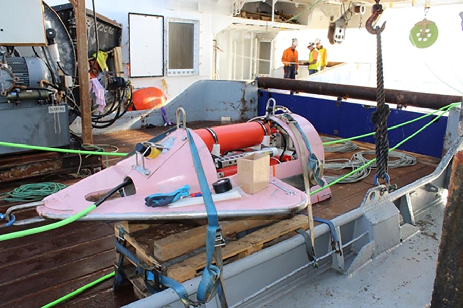
Photo by Brad Weymer
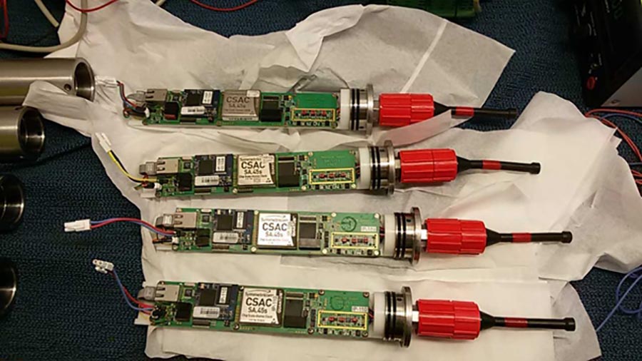
Photo by Brad Weymer
During the next five years, experiments and numerical modelling will be carried out. This will later allow us to use that data to run simulations of groundwater erosion in the laboratory and determine whether it is an effective process in shaping the terrestrial and submarine landscapes.
The project presents a unique opportunity to address long-standing questions in terrestrial and marine geology and bring about a great leap forward in our understanding of some of the most widespread and significant landforms on Earth, but not just that. Groundwater seepage has also been proposed as an important factor shaping landforms on Mars. The project also has important applications. MARCAN will contribute essential environmental baseline data, scientific knowledge, and observational tools to make the Maltese Islands and the EU a leader in the assessment and environmentally-sustainable exploitation of valuable off shore groundwater resources. This could be the beginning of a revolution in the groundwater problem.


Comments are closed for this article!